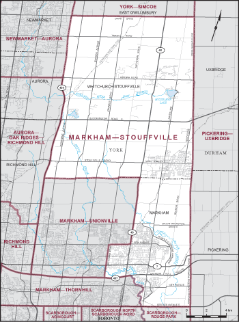
Riding Description
Consisting of that part of the Regional Municipality of York comprised of: (a) the Town of Whitchurch-Stouffville; and (b) that part of the Town of Markham lying easterly of a line described as follows: commencing at the intersection of the northerly limit of said town with Highway No. 48; thence southerly along said highway to 16th Avenue; thence westerly along said avenue to McCowan Road; thence southerly along said road to Highway No. 407; thence easterly along said highway to the Rouge River; thence generally southeasterly along said river to the southerly limit of said town.
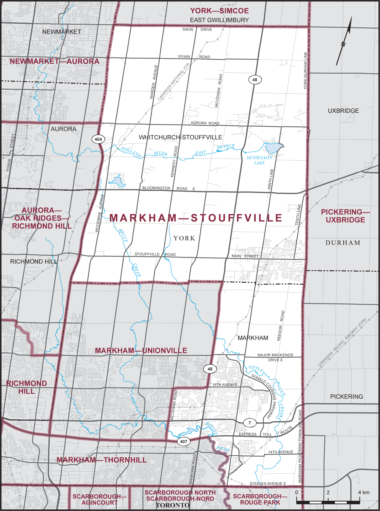
Download a PDF of the riding map here.